Geospatial Informatics Access comprehensive geospatial intelligence across any terrain with our worldwide network of data collection and analysis resources. See Solutions Navigate Terrains Transform complex spatial data into strategic advantage with our advanced analytical tools and expert consulting services. See Projects Precision Agriculture We are at the forefront of the agricultural
revolution, leveraging cutting-edge geospatial technology, data
analytics, and AI to empower farmers, agribusinesses, and agricultural
communities to optimize their operations.
See Solutions
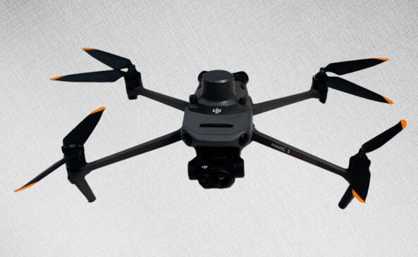
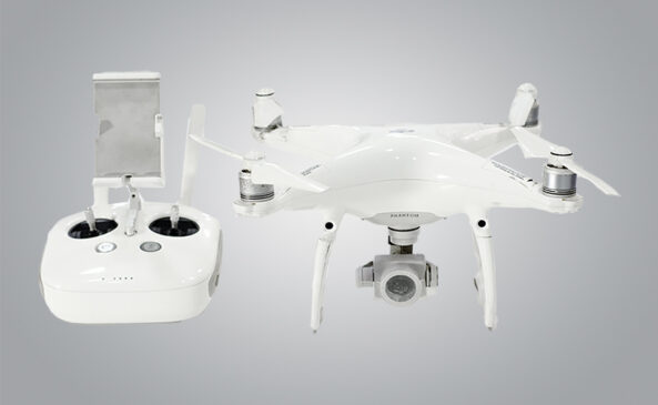
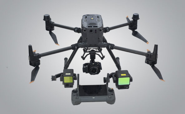
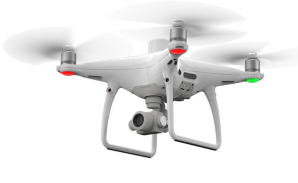
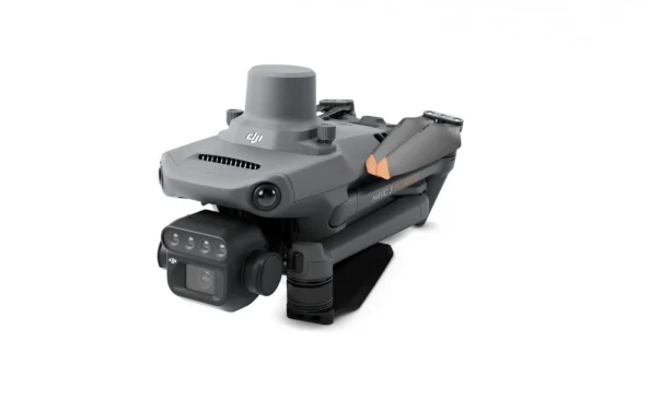
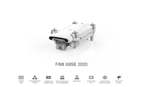
Drone exploration Deploy next-generation drones for precision mapping, aerial surveillance, and real-time data collection — anywhere on Earth. SEE Fleet fb / ig / yt 0{{current_slide_index}} / 0{{total_slide_count}}

About Indepth.

+
Since
1

Done Projects
1

Leading the way in Geospatial Solutions.

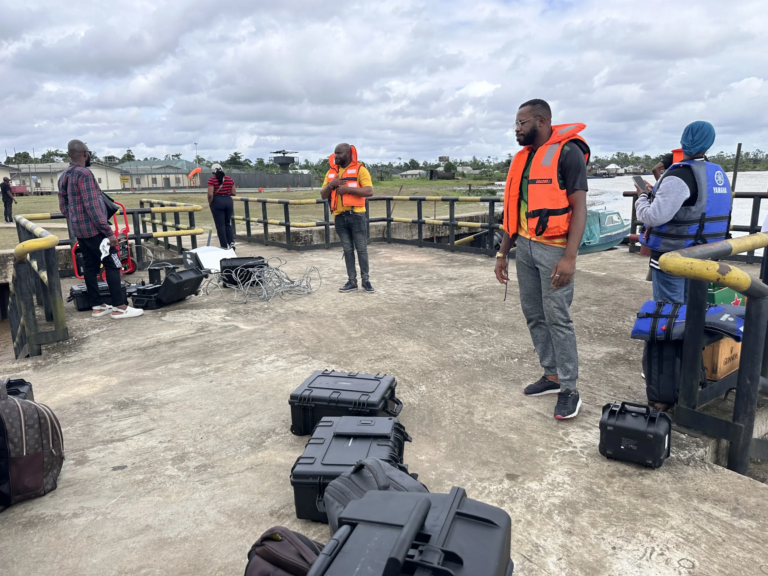
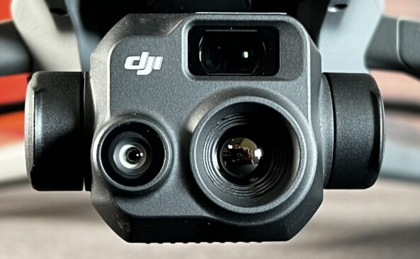
IEGS Global is a leader in advanced geospatial solutions, specializing in aerial and topographical surveys, infrastructure inspection, and asset management. Leveraging state-of-the-art UAVs equipped with LiDAR, multispectral, and thermal sensors, we deliver precise data for critical decision-making across energy, utilities, construction, and government sectors.

Our expertise spans drone deployment, digital twin creation, reality capture, and in-house drone design, enabling us to provide tailored solutions for facilities inspection, pipeline surveillance, gas leak detection, and comprehensive mapping. With a strong foundation in GIS, remote sensing, and photogrammetry, we ensure every project meets the highest standards of accuracy, safety, and efficiency.

At IEGS Global, innovation drives us. We combine technology, experience, and a client-focused approach to deliver actionable intelligence—empowering our clients to manage their assets smarter and more sustainably.

Through a unique combination of grit and industry level based expertise, we deliver client expectations and requirements.

Sustainable Commitment
High-Resolution Mapping & GIS Solutions
Remote Sensing & Spatial Analysis
Land Surveying & 3D Terrain Modeling
Urban & Environmental Planning
Aerial Mapping & Photogrammetry
Infrastructure & Asset Inspections
Agriculture & Land Use Monitoring
Disaster Response & Risk Assessment
GLOBAL PRACTICE

Our Core Values

Every member of IEGS Global is guided by these core values, which define our culture and drive our success:

Innovation
We relentlessly pursue new technologies and creative solutions, from in-house drone design to the latest in digital twin and reality capture, ensuring our clients always benefit from the cutting edge of geospatial science.
Excellence
We are committed to delivering the highest quality in every project, leveraging advanced tools and methodologies to provide accurate, reliable, and actionable data for our clients’ most critical assets.
Client Partnership
We put our clients at the center of everything we do, tailoring our solutions to their unique needs and building lasting relationships based on trust, transparency, and measurable results.
Integrity & Respect
We conduct our business with honesty, fairness, and respect for all individuals, cultures, and communities, upholding the highest ethical standards in every interaction.
Ambition
We are ambitious in our goal-setting, strive continuously to improve, take up challenges and pursuit business opportunities.
Confidentiality
We rigorously protect the sensitive information entrusted to us, ensuring the privacy and security of our clients’ data at every stage of our operations.
Safety & Sustainability
We prioritize the health and safety of our people, clients, and the environment, adopting best practices and innovative technologies to minimize risk and promote sustainable outcomes.
Ambition
We set bold goals, embrace challenges, and continuously seek opportunities to expand our impact and leadership in the global geospatial and drone technology sectors.

Highly Professional & Qualified Staff.

Our team consists of highly skilled geospatial analysts, GIS specialists, drone pilots, and data scientists with years of experience in the field. Combining technical expertise with cutting-edge technology, we deliver precise and actionable insights to drive informed decision-making.

Accurate Processes Testing Guarantee.

We start with a consultation to understand your needs, then use advanced GIS tools and drones to collect and analyze high-resolution data. Our experts transform it into actionable insights, delivering clear reports and support for seamless implementation.

Our Partners.

FAQs

In this section we want to answer in a simple way some of the frequently asked questions related to our Business.

What industries benefit from geospatial and drone services?
Our services support industries like agriculture, construction, real estate, environmental management, infrastructure, and government planning.
How accurate is your geospatial data?
We use advanced GIS tools, remote sensing, and high-precision drones to ensure highly accurate data for mapping, analysis, and decision-making.

What are the advantages of using drones for data collection?
Drones provide fast, cost-effective, and high-resolution data capture, reducing fieldwork time while improving accuracy and efficiency.
Do you offer custom solutions for unique project needs?
Yes! We tailor our geospatial and drone services to meet specific project requirements across various industries.
How can I get started with your services?
Simply contact us for a consultation, and our team will guide you through the process to find the best geospatial solution for your needs.

Let’s Talk.

Let’s Do Some Business.

Working Time
Monday - Friday: 8.00am - 5.00pm Holiday: Closed
Prev
Next