Indepth Earth Geospatial Services is a leading provider of innovative, reliable, and professional GIS solutions and services. The company is committed to empowering people with the skills necessary to excel in the geospatial industry. To this end, Indepth Earth Geospatial Services offers comprehensive training programs for individuals with little or no GIS skills. The training programs provided by Indepth Earth Geospatial Services are designed to equip individuals with the necessary skills and knowledge to become successful GIS professionals. The programs cover a wide range of topics, including GIS fundamentals, spatial analysis, data management, and remote sensing. The courses are delivered by industry experts who have years of experience in the field and are passionate about sharing their knowledge with others.
1. GIS Training (Introduction to GIS, Spatial data and Map Design, Spatial Analysis, Data entry and Mgt.)
Our GIS training equips you with practical skills in mapping, spatial data analysis, and remote sensing to solve real-world challenges. Designed for beginners and professionals alike, the program blends expert-led instruction with hands-on projects using industry-standard GIS tools. Whether you’re aiming to enhance your career, support environmental management, or drive data-based decision-making, our GIS training in Nigeria provides the knowledge and experience you need to excel. Whether you want to learn how to use ArcGIS Pro and other GIS Software.
2. Remote Sensing Training (Introduction, Image Interpretation, GIS Integration, Radar and LiDAR Remote Sensing, Remote Sensing Data Fusion)
Our Remote Sensing Training covers everything from foundational concepts to advanced techniques, including image interpretation, GIS integration, radar and LiDAR remote sensing, and data fusion. Through expert-led sessions and practical exercises, you’ll learn how to collect, process, and analyze remote sensing data to support environmental monitoring, urban planning, agriculture, and more. Designed for both beginners and professionals, this training equips you with the skills to harness satellite and aerial imagery for accurate, data-driven decision-making.
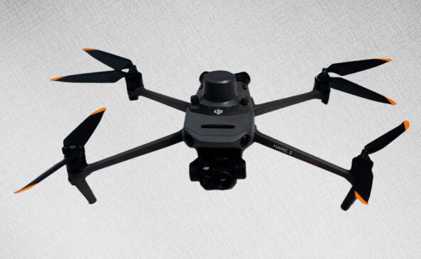
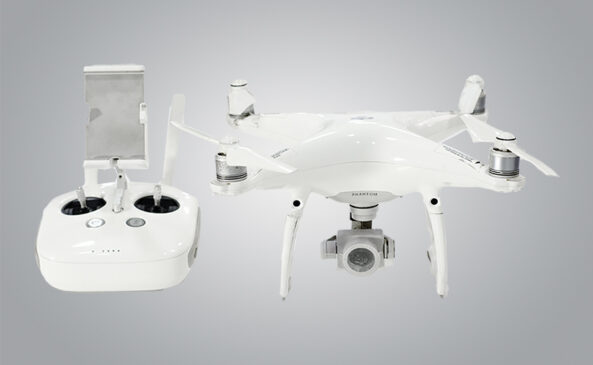
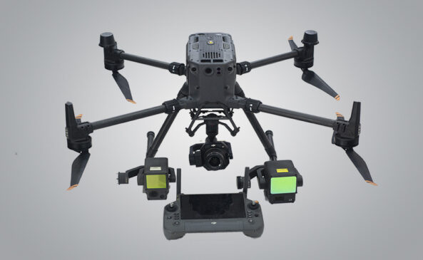
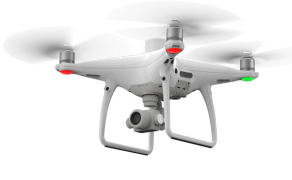
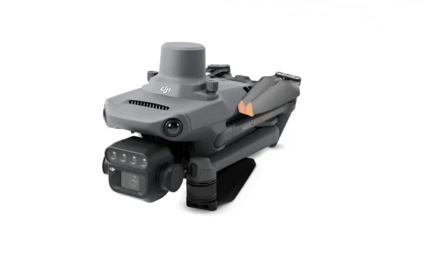
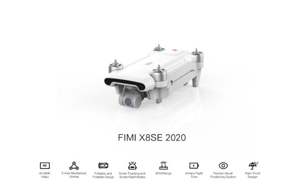
3. Drone Piloting & Drone Image Analytics (Drone Flight, Aerial Photography and Videography, Drone Regulation and Licensing, Flight Planning and Mission Execution, Drone Maintenance).
Our Drone Piloting & Drone Image Analytics training teaches you how to confidently operate drones and extract valuable insights from aerial data. Covering drone flight, aerial photography and videography, regulations and licensing, flight planning, mission execution, and maintenance, this program blends theory with hands-on flying experience. You’ll also learn to process and analyze drone imagery for applications in mapping, surveying, inspection, agriculture, and more—equipping you with the skills to excel in the fast-growing drone industry.
4. Google Earth Engine (Working with Geospatial Data, Image Analysis with GEE, Data Filtering and Visualization).
Our Google Earth Engine (GEE) training equips you with the skills to process, analyze, and visualize geospatial data at scale. You’ll learn how to work with satellite imagery, perform image analysis, apply data filtering techniques, and create compelling visualizations—all within GEE’s cloud-based platform. Designed for both beginners and experienced GIS professionals, this program blends theory with practical exercises to help you harness the full power of Google Earth Engine for environmental monitoring, urban planning, agriculture, and research.
5. Field Data Collection, Research Methods and Analysis.
Our Field Data Collection, Research Methods and Analysis training provides you with the skills to gather accurate data, apply sound research techniques, and conduct meaningful analysis. You’ll learn best practices for field surveys, data recording tools, sampling strategies, and quality assurance, along with methods to process and interpret findings for informed decision-making. Ideal for environmental managers, researchers, and development professionals, this program blends theory with hands-on exercises to ensure you can confidently manage projects from data collection to actionable insights.
Karidav Training Sessions
Training Karidav’s Staff on the use of Geographic Information Systems (GIS).
HYPREP Training Sessions
Training HYPREP Staff on the use of Drones and Mapping.

