Geospatial Projects | Our records in the Industry
We have started, managed and commisioned a lot of Geospatial Projects in Nigeria, all successful and in different insudtries we have delivered and continue delivering exceptional value.
Ibom Solutions Hub Project
Oil & Gas Industralization Project
Hydrocarbon Emission Restoration Project
LiDAR Mapping for Airport Construction
Pipeline Surveillance
Hydrocarbon Remediation Project
AGRICULTURE / SURVEYING
Ibom Solutions Hub Project
A comprehensive mapping and monitoting/assessment exercise conducted in Akwa-Ibom state.
OIL / GAS
Oil & Gas Industrialization Project
Drone LiDAR Topographical Survey of an Oil anf Gas Industrial Zone in Warri South-West.
ENVIRONMENT / OIL & GAS
HYPREP
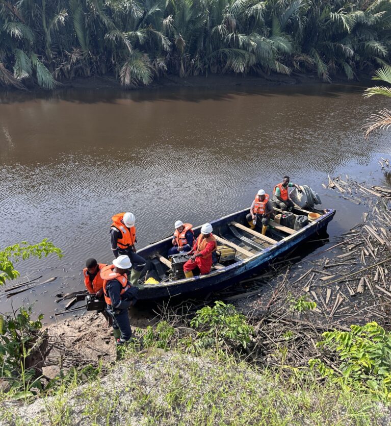
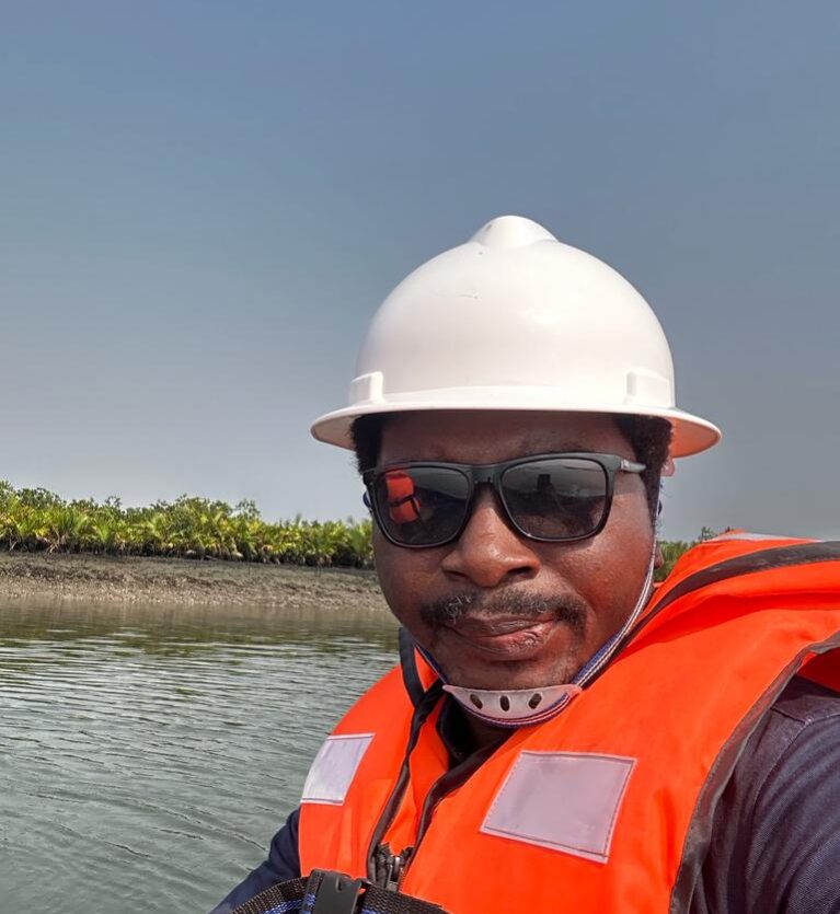
Drone Mapping/Monitoring of mangrove Remediationand Restoration project for HYPREP
AVIATION / INFRASTUCTURE
LiDAR Mapping for Airport Construction
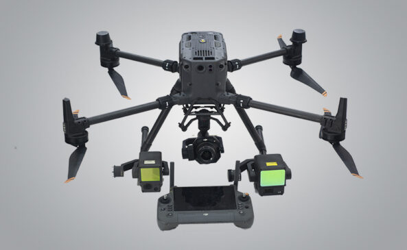
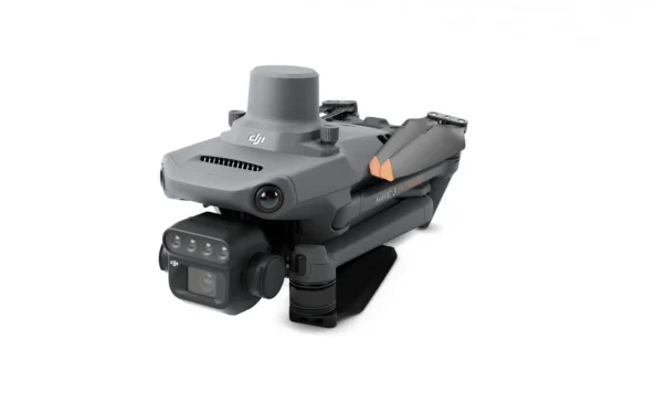
We conducted high-precision LiDAR mapping for the site of a newly planned airport. This project was carried out using advanced LiDAR Payload Technology.
OIL AND GAS / SURVEILLANCE
Pipeline Surveillance
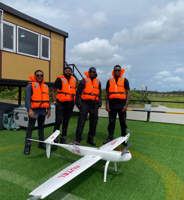
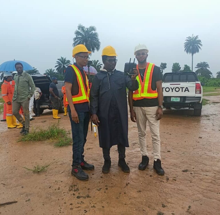
We are part of an ongoing aerial surveillance service for an oil company in Bayelsa State, utilizing advanced drones to monitor critical pipeline infrastructure.
ENVIRONMENT
Hydrocarbon Remediation Project
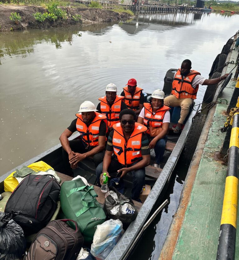
Drone Mapping of Hydrocarbon impacted sites for UNEP in Ogoni Land.
OIL AND GAS
HYPREP
Drone Mapping/Monitoring of Mangrove Remediation and Restoration Project for HYPREP.
REAL ESTATE
Oil and Gas Facility Inspection
Regular inspections of off-shore and on-shore oil rigs using drones equipped with high-resolution cameras and sensors.
REAL ESTATE
Drone LiDAR Survey
Drone LiDAR Topographical and Boundary Survey at Katampe in Abuja for Victoria Gardens.
REAL ESTATE
New Port City
We carried out a high-quality aerial mapping and generated detailed 3D models, Digital Elevation Models, Orthophoto and contour for site planning and design reviews.
At Indepth Earth, we take pride in delivering innovative mapping, surveying, and GIS-based solutions that help organizations make informed decisions. Our portfolio spans projects in agriculture, environmental restoration, oil and gas, infrastructure, and real estate. From precision drone LiDAR surveys to detailed GIS analysis, each project is carried out with a commitment to accuracy, efficiency, and sustainability.
Explore our completed assignments to see how advanced geospatial technology can solve real-world challenges. Whether it’s monitoring environmental recovery in the Niger Delta, inspecting critical oil and gas infrastructure, or creating high-resolution topographic models for urban planning, our work reflects both technical excellence and a deep understanding of the landscapes we serve. Each project is a testament to our expertise, adaptability, and dedication to delivering reliable results for clients across Nigeria and beyond.
Our multidisciplinary team combines the latest drone technology with industry-leading software to produce precise data and actionable insights. By integrating aerial mapping, LiDAR scanning, and GIS processing, we provide end-to-end solutions tailored to each client’s needs. This approach ensures that every stage — from data capture to final analysis — meets the highest industry standards and supports informed decision-making.
We believe every project tells a story of innovation and impact. That’s why we work closely with clients to understand their objectives and deliver solutions that not only meet but exceed expectations. Browse through our works to discover how our advanced geospatial capabilities have supported sustainable development, improved infrastructure, and enhanced resource management across diverse sectors.
Contact Us
For your GIS, Geospatial and Drone Tech needs.
Office Address
Phone & Mail Support 24/7
Working Time


