Our Drone Services in Nigeria
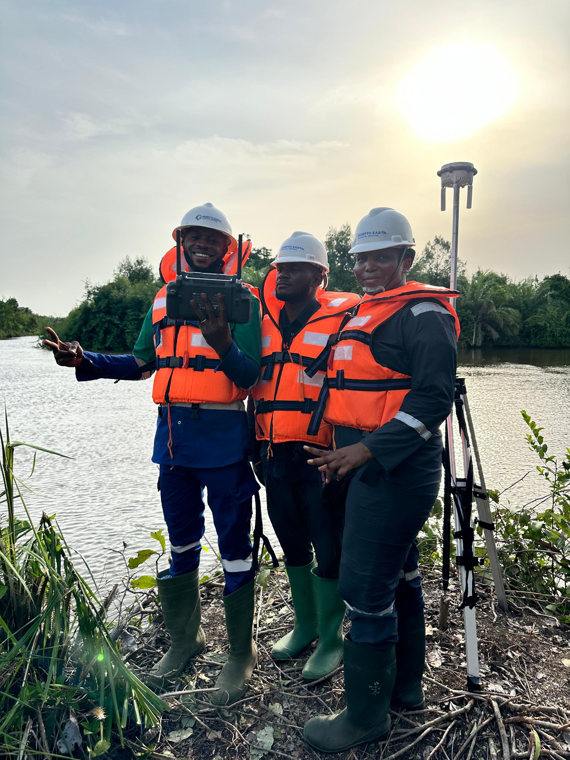
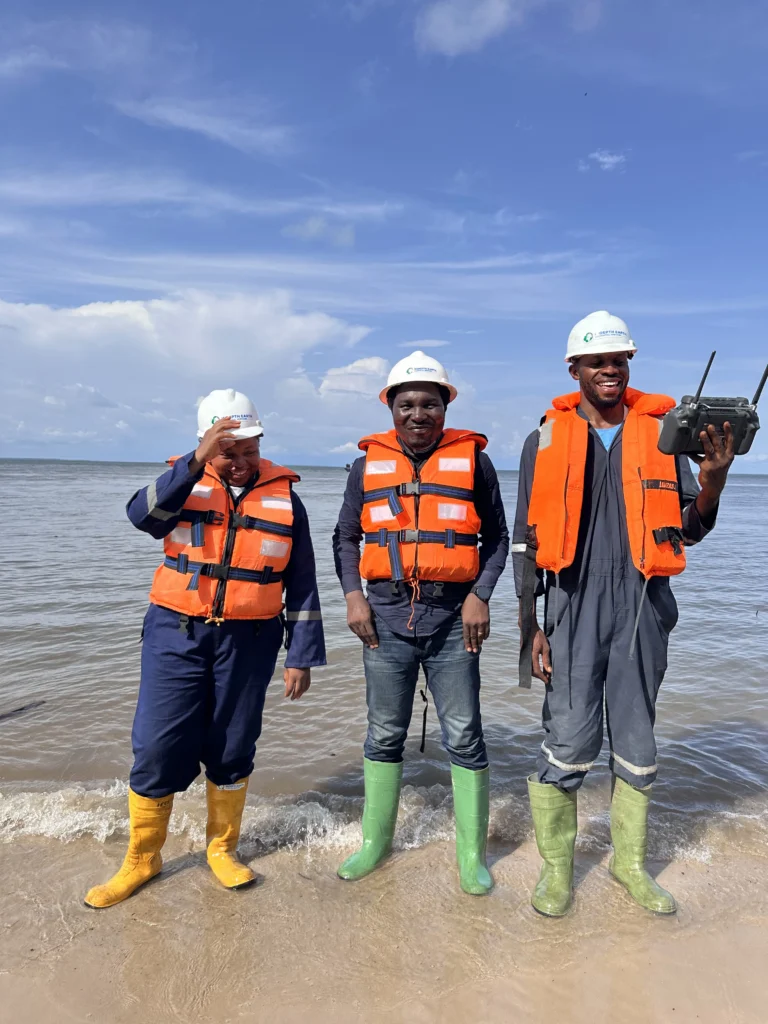
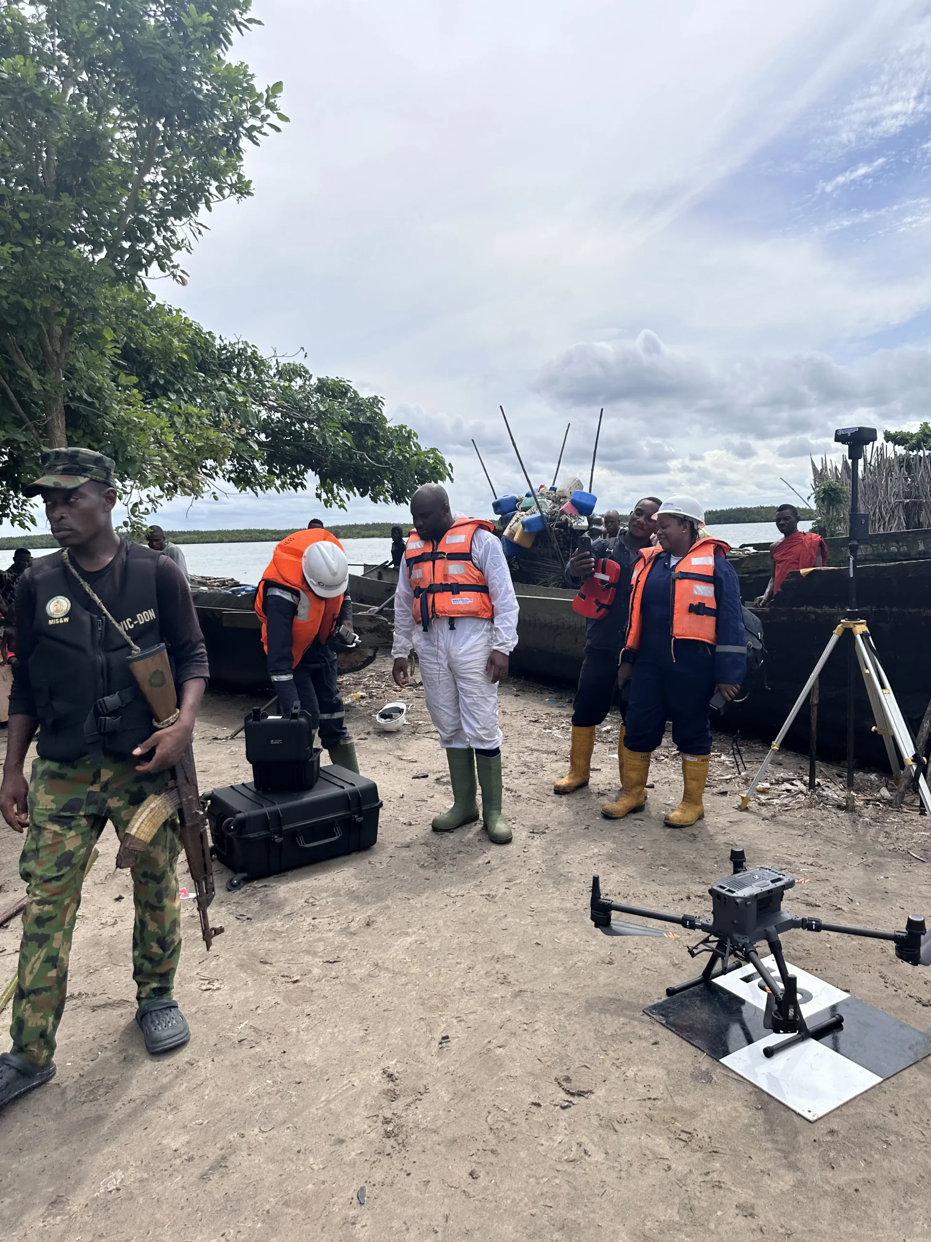
We offer top notch drone services in Nigeria as proofed by the kinds of jobs we have executed and done with the utmost precision. We are fully operational and licensed by the NCCA.
Aerial Survey and Mapping
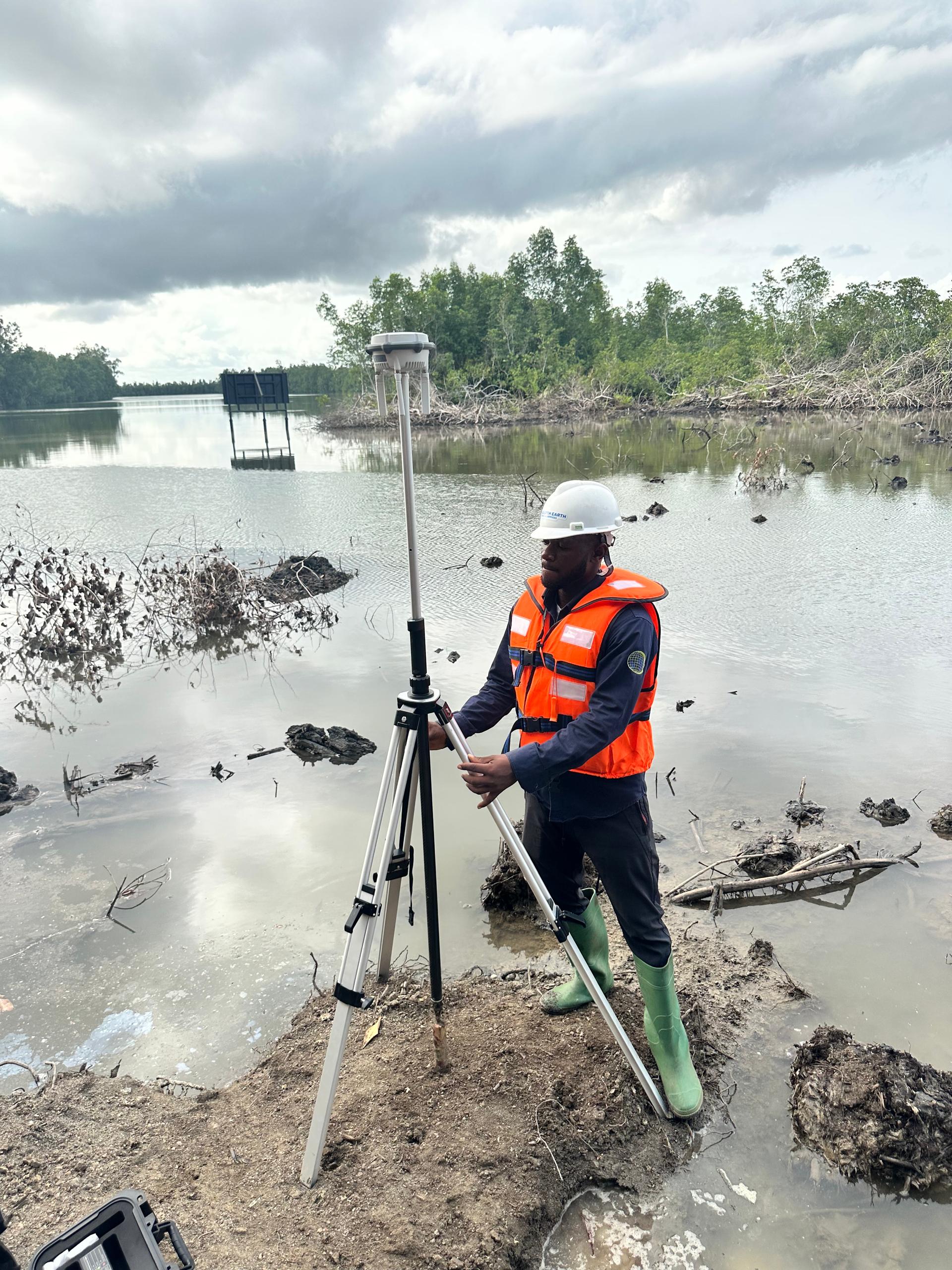
Capture high-resolution, geo-referenced data with precision. Our drone mapping solutions provide fast, accurate topographic surveys—ideal for construction, mining, and land development.
Aerial Inspection & Facilities Management
Access hard-to-reach assets safely and efficiently. We conduct detailed aerial inspections of infrastructure, reducing risk and downtime while boosting accuracy and speed.
Aerial Monitoring & Surveillance
Keep eyes in the sky 24/7. Our drone surveillance services offer real-time monitoring for events, borders, wildlife reserves, and critical facilities—enhancing security and decision-making.
Search & Rescue Operations
When every second counts, our drones deliver. Equipped with thermal imaging and GPS tracking, we support emergency teams with rapid aerial assessment in disaster zones or missing person searches.
Digital Twin Creation
We combine real-time geospatial data with 3D models to create virtual replicas of physical assets, environments, or infrastructure, enabling users to visualize, monitor, and simulate real-world conditions with precision. By integrating GIS, IoT, and analytics, digital twins empower smarter decision-making in urban planning, environmental monitoring, and asset management—helping to optimize performance, reduce risk, and plan for the future more effectively.
Crop Health Analysis
Maximize yield with smart farming. Our drones use multispectral imaging to detect crop stress, disease, and irrigation issues early—empowering data-driven agricultural decisions. This happens to be one of the most critical areas we offer our drone services in Nigeria.
Reasons.
For you to use our expert Drone Service Offerings
Choosing our drone services means choosing efficiency, accuracy, and innovation. Whether you’re conducting aerial surveys, infrastructure inspections, or security monitoring, our drones are equipped with high-resolution cameras and advanced sensors to deliver detailed, real-time data. This reduces manual labor, eliminates guesswork, and helps you make informed decisions faster and with greater precision.
1. Cost-Effective Operations
Drones reduce the need for manned surveys, scaffolding, or helicopters—cutting operational costs significantly while delivering high-resolution data.
2. Faster Data Collection
What used to take days can now be done in hours. Our drones can cover large areas quickly and transmit data in real-time, allowing for quicker decision-making.
3. Improved Safety
We eliminate the need for human presence in dangerous or hard-to-reach environments. From tall towers to toxic sites, drones help ensure worker safety during inspections.
4. High Accuracy & Detail
With advanced sensors and GPS systems, our drones capture centimeter-level accuracy in mapping, imaging, and analysis—perfect for precision-critical industries.
5. Versatile Applications
Whether you’re managing crops, monitoring a construction site, or conducting a facility inspection, our drones adapt to a wide range of industry needs.
6. Environmentally Friendly
Drones are minimally invasive, cause no harm to the environment, and reduce the carbon footprint compared to traditional aerial methods.
7. Real-Time Decision Support
With live feeds and rapid data processing, you get actionable insights faster—helping you stay ahead of potential issues before they escalate.
Drone display
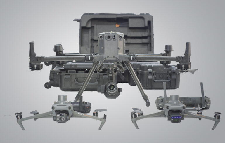
Below are the types of drones we have on display for operations currently. Each comes with different specifications and with a unique purpose.
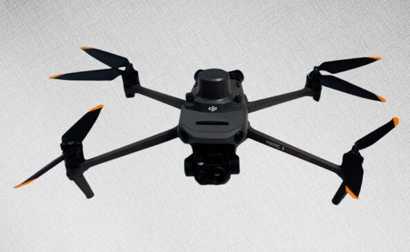
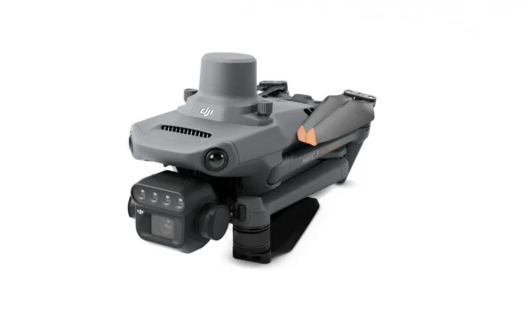
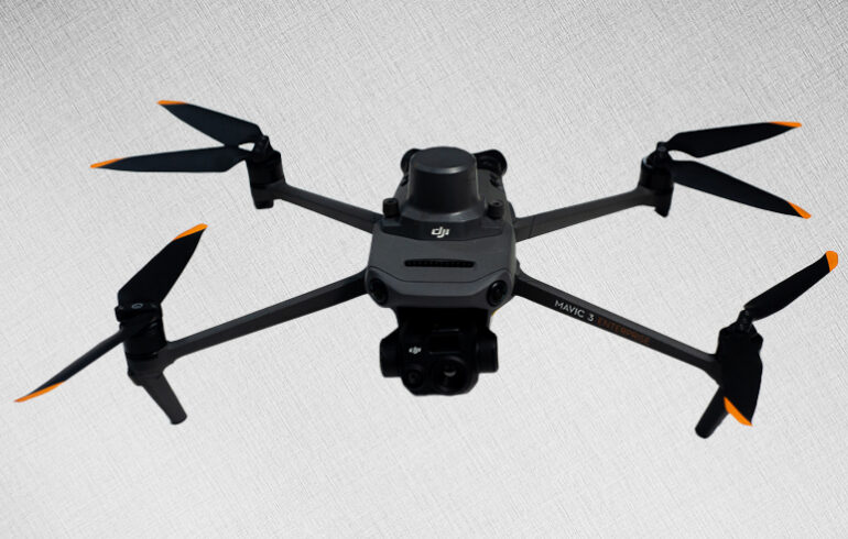
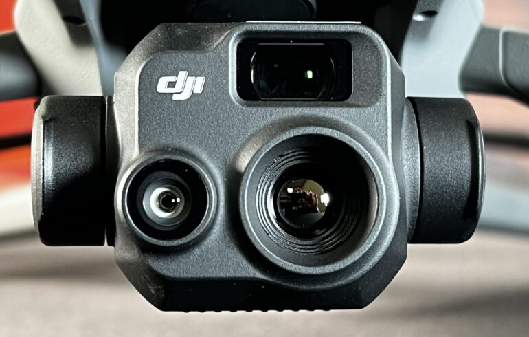
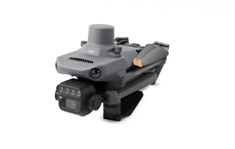
Dji Mavic 3 Enterprise
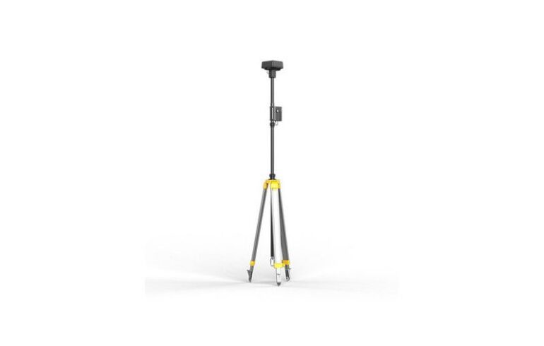
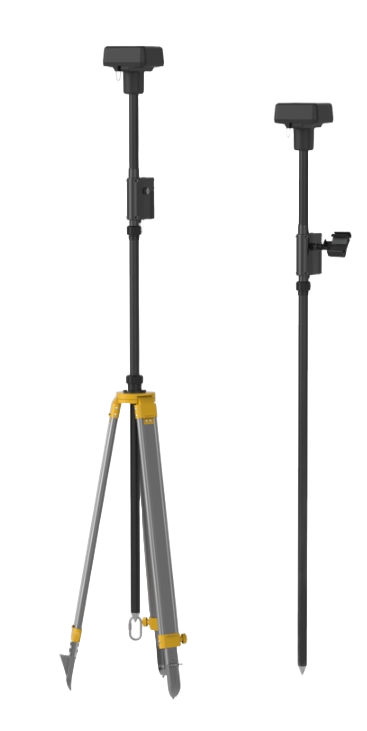
Precision meets portability. The DJI Mavic 3 Enterprise is your compact powerhouse for aerial mapping and surveying—featuring a mechanical shutter, 56× zoom, and RTK support for centimeter-level accuracy.
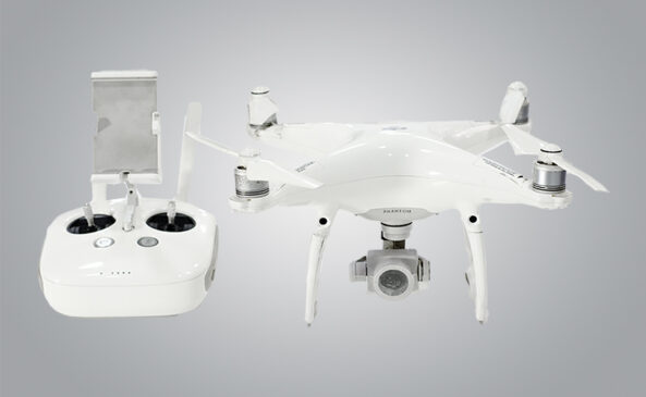
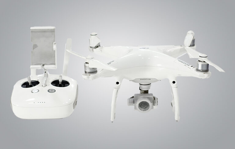
Dji Phantom 4 Pro
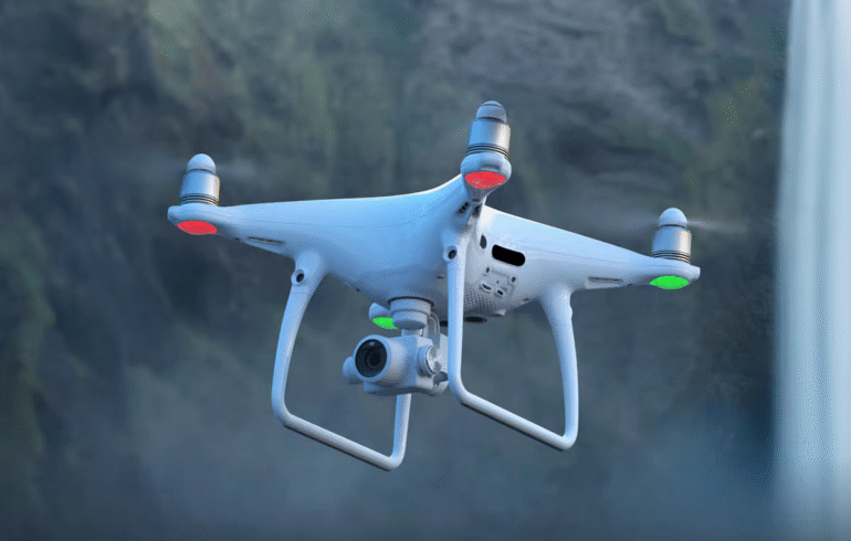
Classic power, pro results. The DJI Phantom 4 Pro delivers stunning 4K video, a 1-inch 20MP sensor, and smart flight modes—all in an iconic design trusted by aerial photographers and surveyors alike.
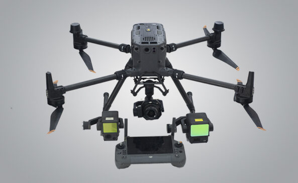
DJI Matrice 350 RTK
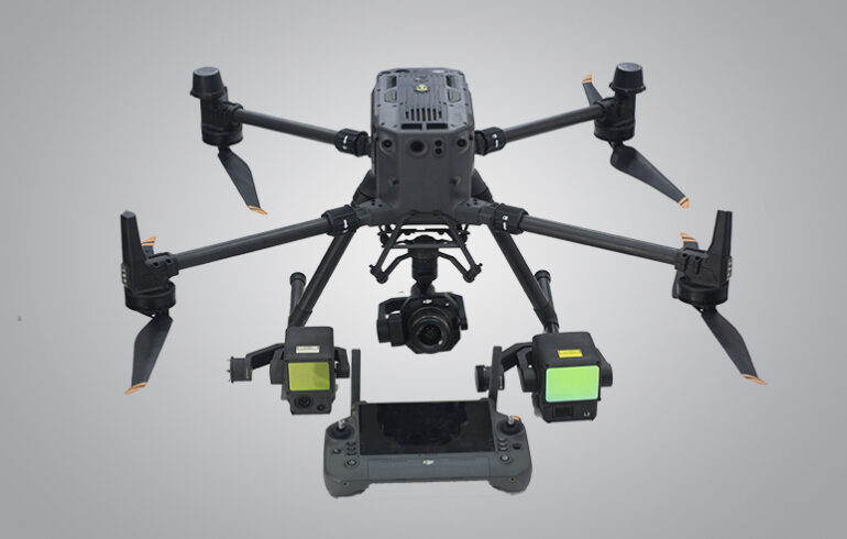
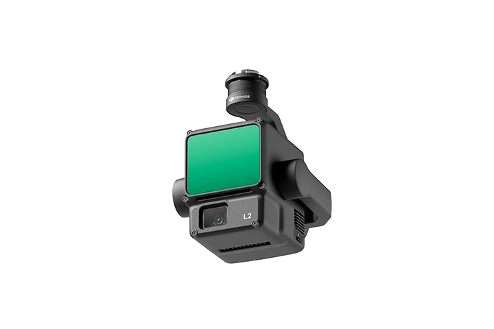
Built for the toughest missions. The DJI Matrice 350 RTK redefines industrial drone performance with enhanced flight time, triple-channel transmission, and advanced safety systems—perfect for inspections, mapping, and public safety operations.
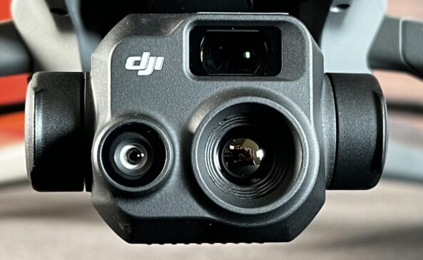
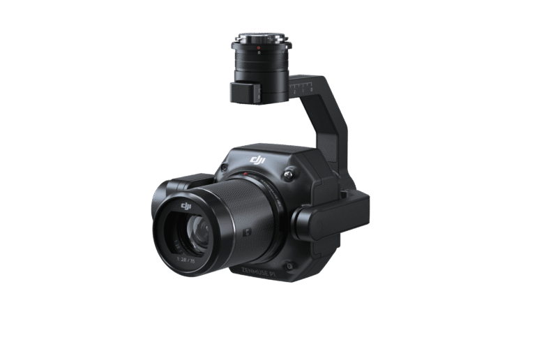
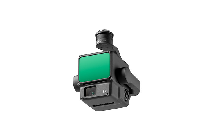
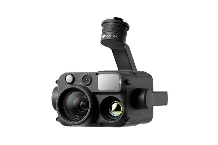
Cameras for the Matrice 350 RTK
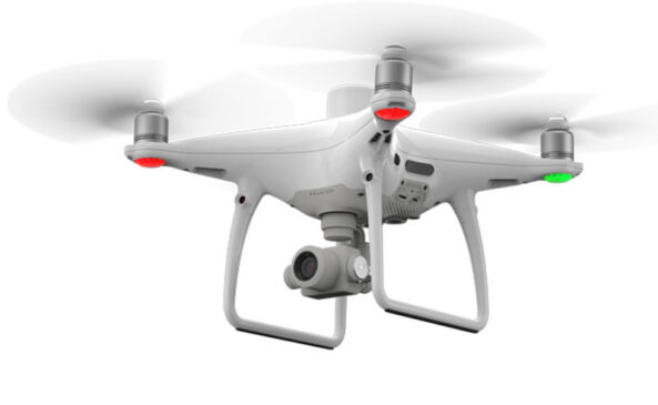
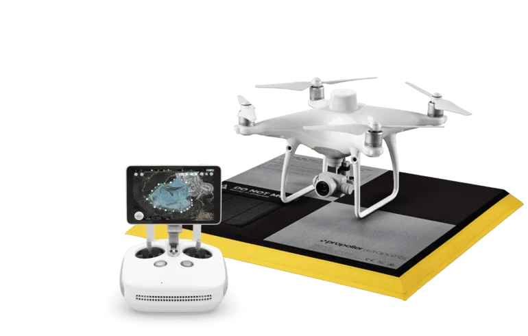
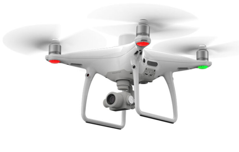
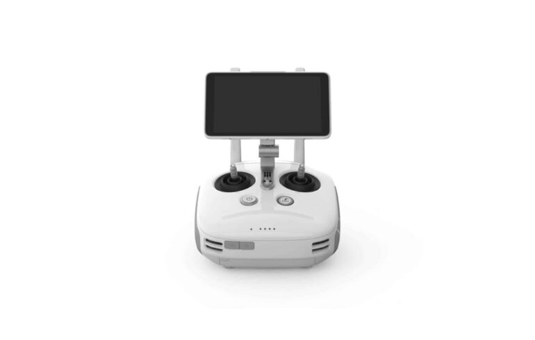
DJI Phantom 4 RTK
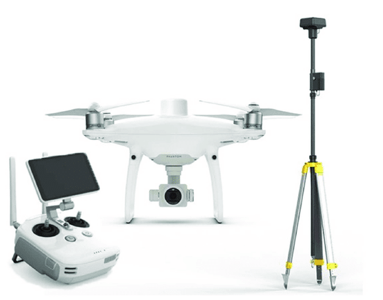
Survey-grade accuracy in a compact form. The DJI Phantom 4 RTK combines a 1-inch 20MP sensor with built-in RTK for centimeter-level precision—making it the go-to drone for reliable, efficient mapping and geospatial data capture.
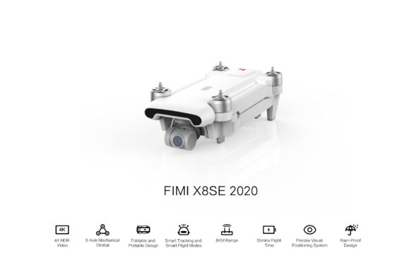
FIMI X8 SE 2020 Drone
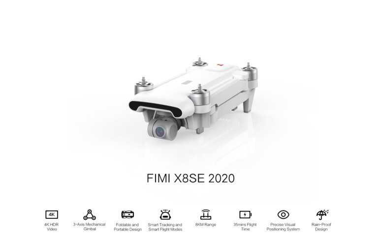
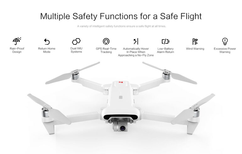
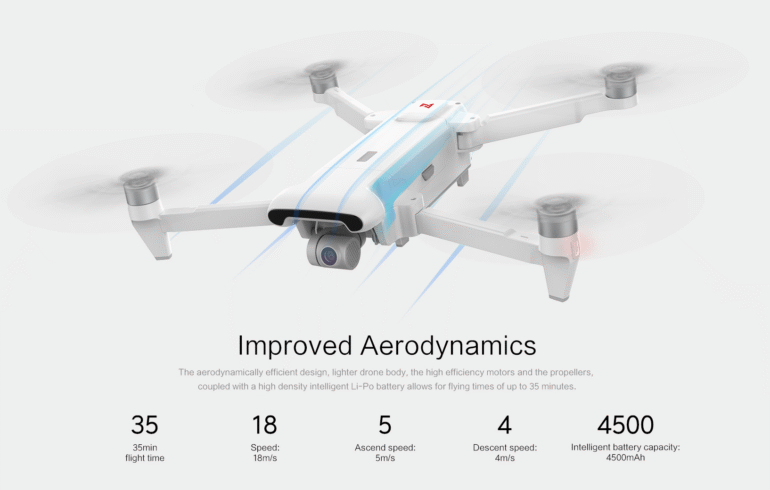
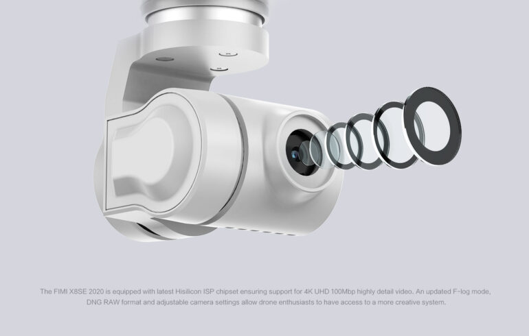
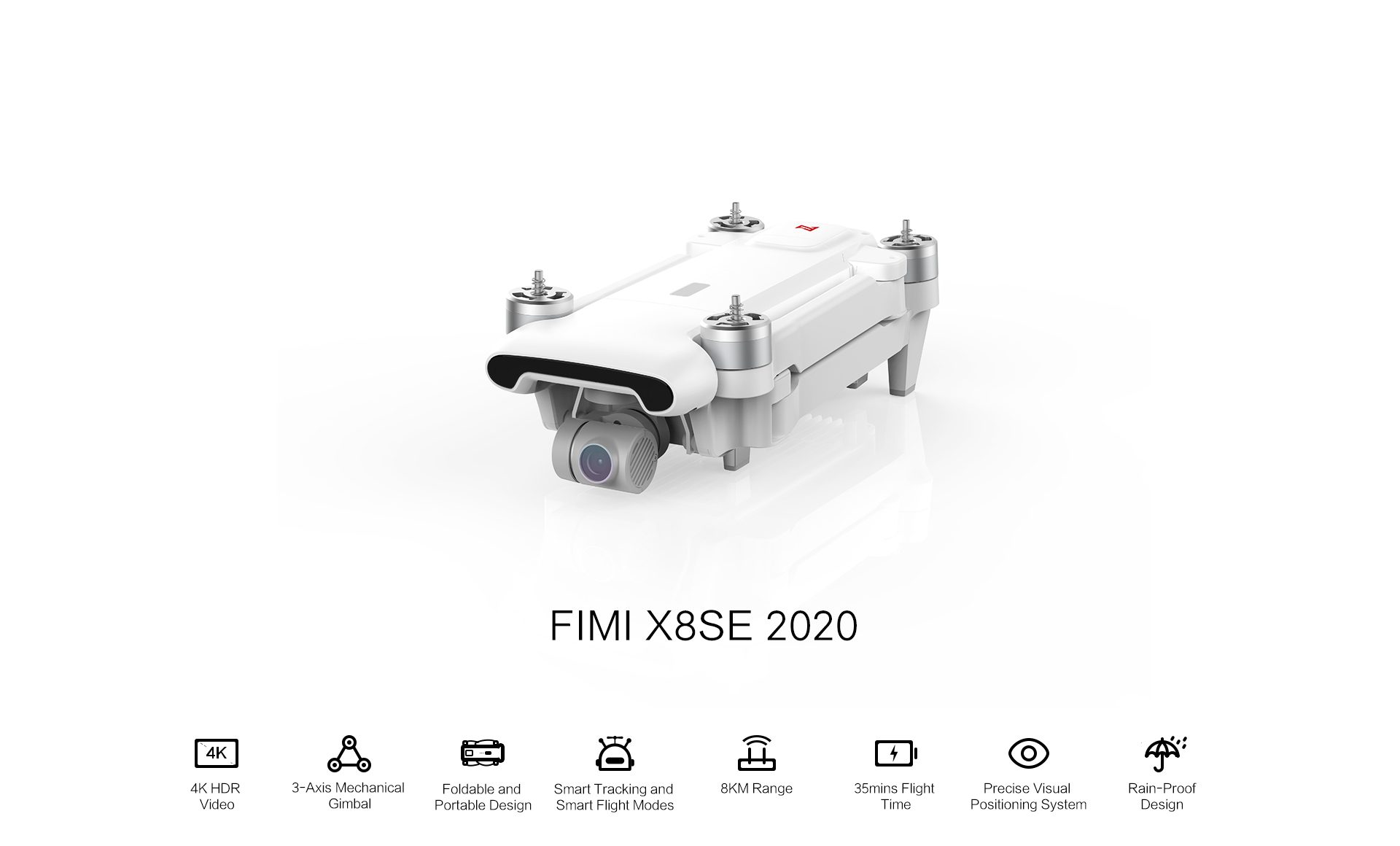
Elevate your aerial photography with the FIMI X8 SE 2020. This foldable drone boasts a 4K camera stabilized by a 3-axis gimbal, ensuring smooth and high-quality footage. With a flight time of up to 35 minutes and a range of 8 kilometers, it’s designed for extended exploration. Intelligent flight modes like Smart Tracking and Waypoints make capturing cinematic shots effortless. Whether you’re a beginner or a seasoned pilot, the FIMI X8 SE 2020 offers a perfect blend of performance and portability.

