


Dji Mavic 3 Enterprise

W/ Thermal Camera

W/ Multispectral Camera

Dji Phantom 4 Pro

Dji Phantom 4 Pro

Dji Phantom 4 Pro

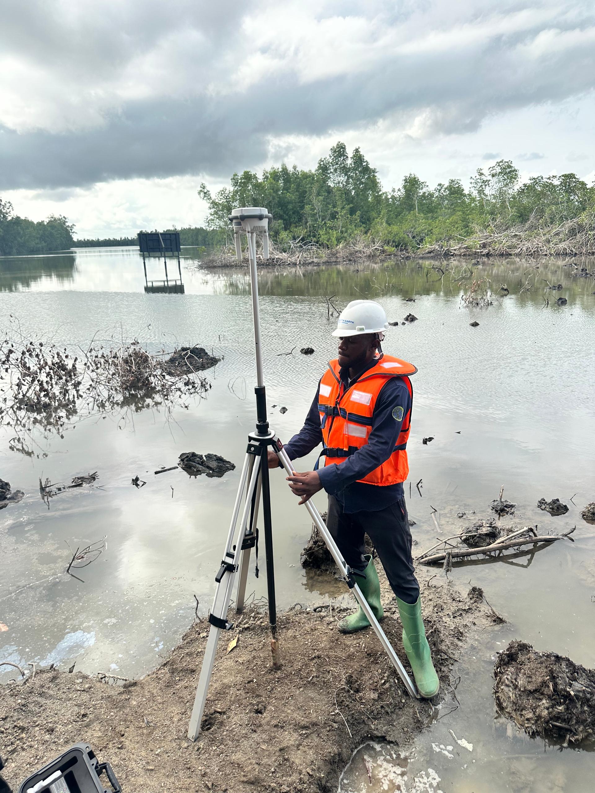
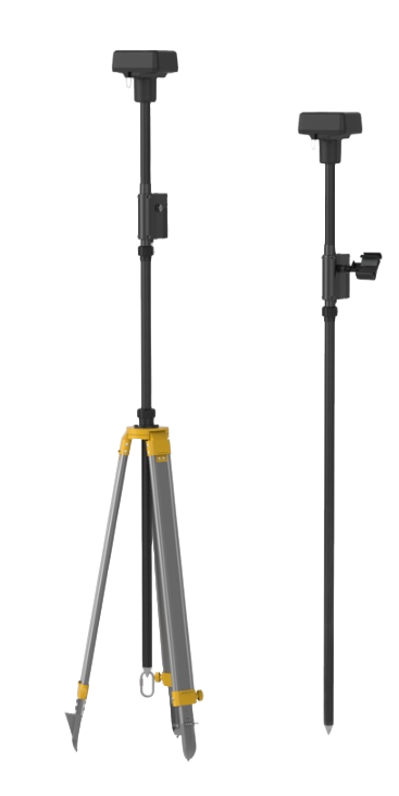
W/ Base Station

DJI Matrice 350 RTK

Fleet W/ DJI Matrice 350 RTK

W/ Base Station

Matrice 350 RTK - P1 Camera

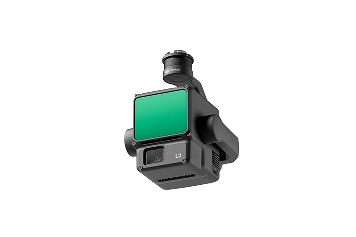
Matrice 350 RTK - LiDAR Camera

Matrice 350 RTK - Thermal Camera

DJI Phantom 4 RTK

DJI Phantom 4 RTK

DJI Phantom 4 RTK

W/ Base Station

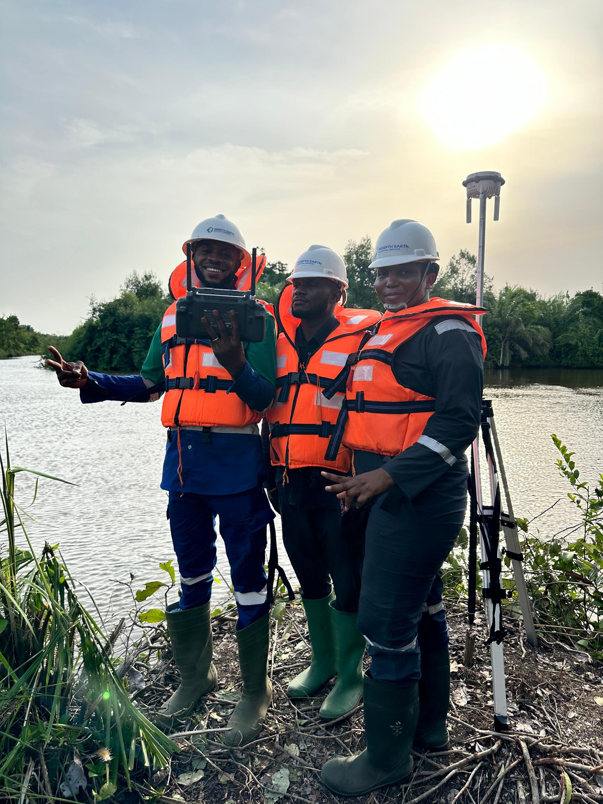
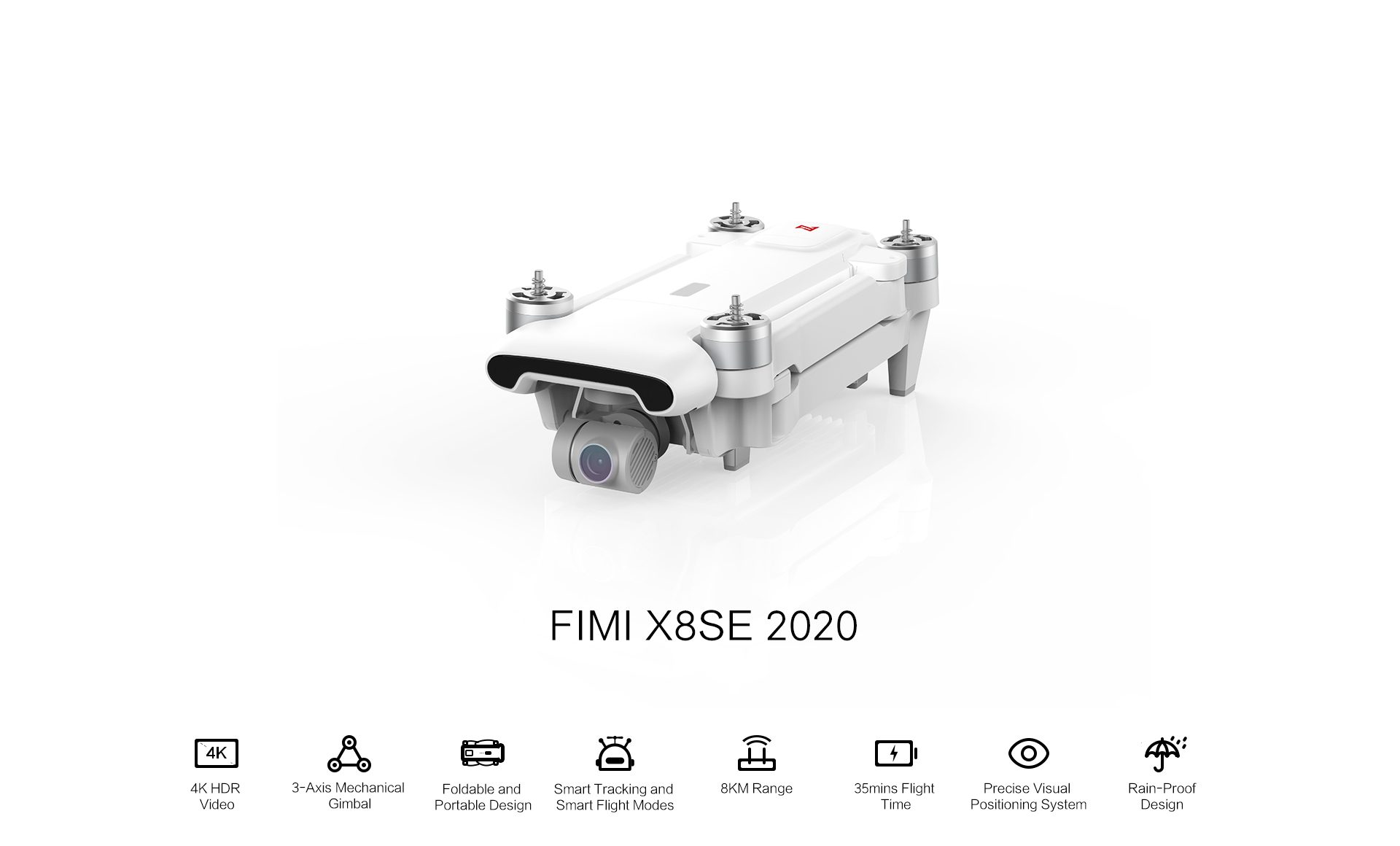
FIMI X8 SE 2020 Drone

FIMI X8 SE 2020 Drone

FIMI X8 SE 2020 Drone

FIMI X8 SE 2020 Drone