Nos clients
Notre mission
Notre vision

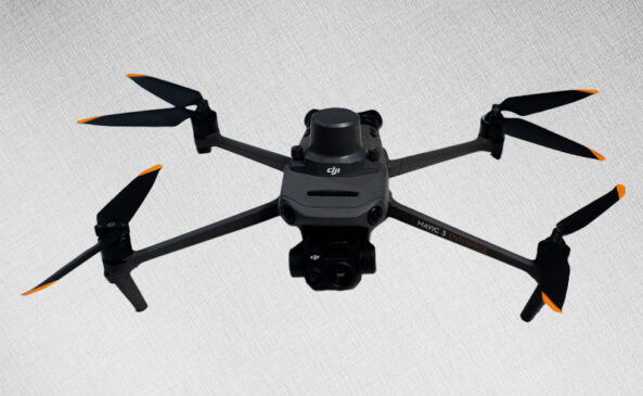
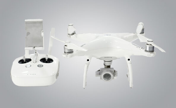
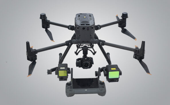
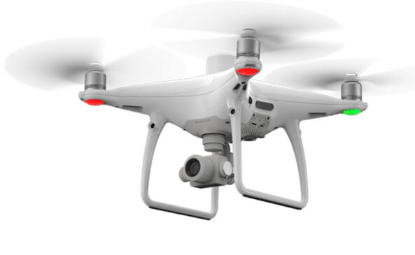
At Indepth Earth, we are redefining the landscape of geospatial intelligence and drone technology in Nigeria. As pioneers in the field, we specialize in delivering advanced drone services, precise geospatial mapping, and cutting-edge UAV manufacturing—all backed by a highly engaged and innovative R&D facility. Our mission is to empower governments, industries, and organizations with data-driven insights and high-resolution aerial imagery that transform how decisions are made and challenges are solved. From land surveying and environmental monitoring to infrastructure planning and security operations, we provide end-to-end solutions with unmatched accuracy and reliability. At our core, we believe in pushing technological boundaries to shape a smarter, more connected future—firmly positioning Indepth Earth as Nigeria’s trusted leader in aerial intelligence and geospatial innovation.


Nos Services
À la Profondeur de la Terre, nous comprenons que notre cible les marchés sont confrontés à des défis uniques qui nécessitent innovant, précis, et le coût-efficacité des solutions. Notre mission est de répondre à ces problèmes de base en tirant parti des avancées outils géospatiaux, drone de la technologie et des services d'experts. Ci-dessous sont les principaux problèmes que nous visons à résoudre pour nos marchés cibles:
- Les Sociétés pétrolières et gazières: Pipeline de Surveillance et de contrôle des biens
- Immobilier: La Ville Intelligente De Solutions
- L'Agriculture: L'Agriculture De Précision
- Surveillance de l'environnement et de la Gestion
- Après la catastrophe
- Le Développement de l'Infrastructure et de la Maintenance
- Terres De Gestion De L'Information
- L'Accessibilité des données et la Prise de Décision
- La durabilité et de l'Optimisation des Ressources
Talking Numbers
1
+
1
+
1
+
1
+

