Mr. Brown Joshua
Directeur général et chef de la direction
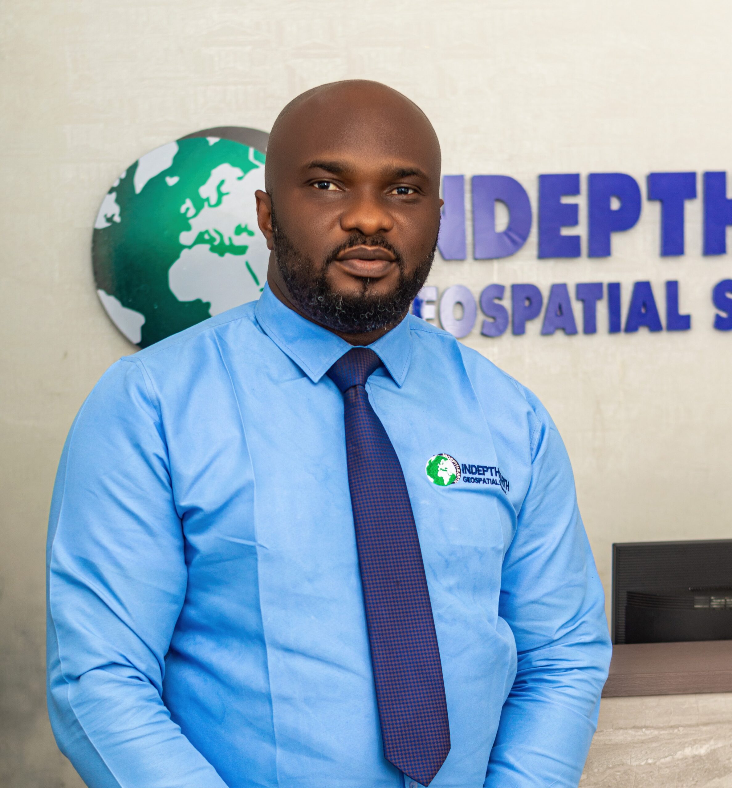
Mr. Victory Ayorinde
COO et Développement des Affaires

Mr. Visigah Kpobari
Chef De La Planification De L'Agent

Ms. Bell-Gam Judith
Agent Administratif

Mr. Nduka Obinna
Team Lead - Drone Operations
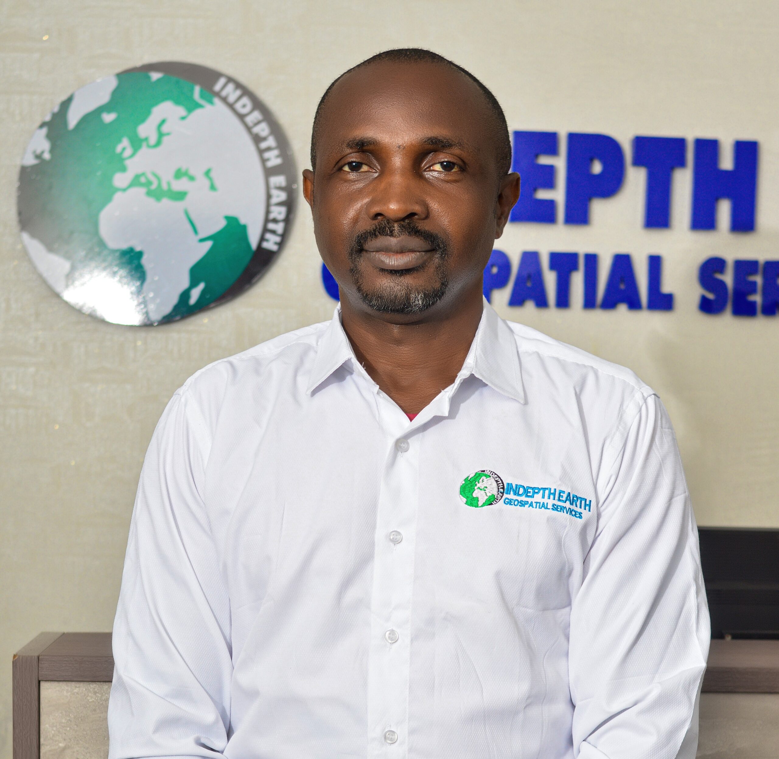
Mr. Dange Onyx
Team Lead - HSE

Mr. Fadipe Damilola
Team Lead - Surveillance
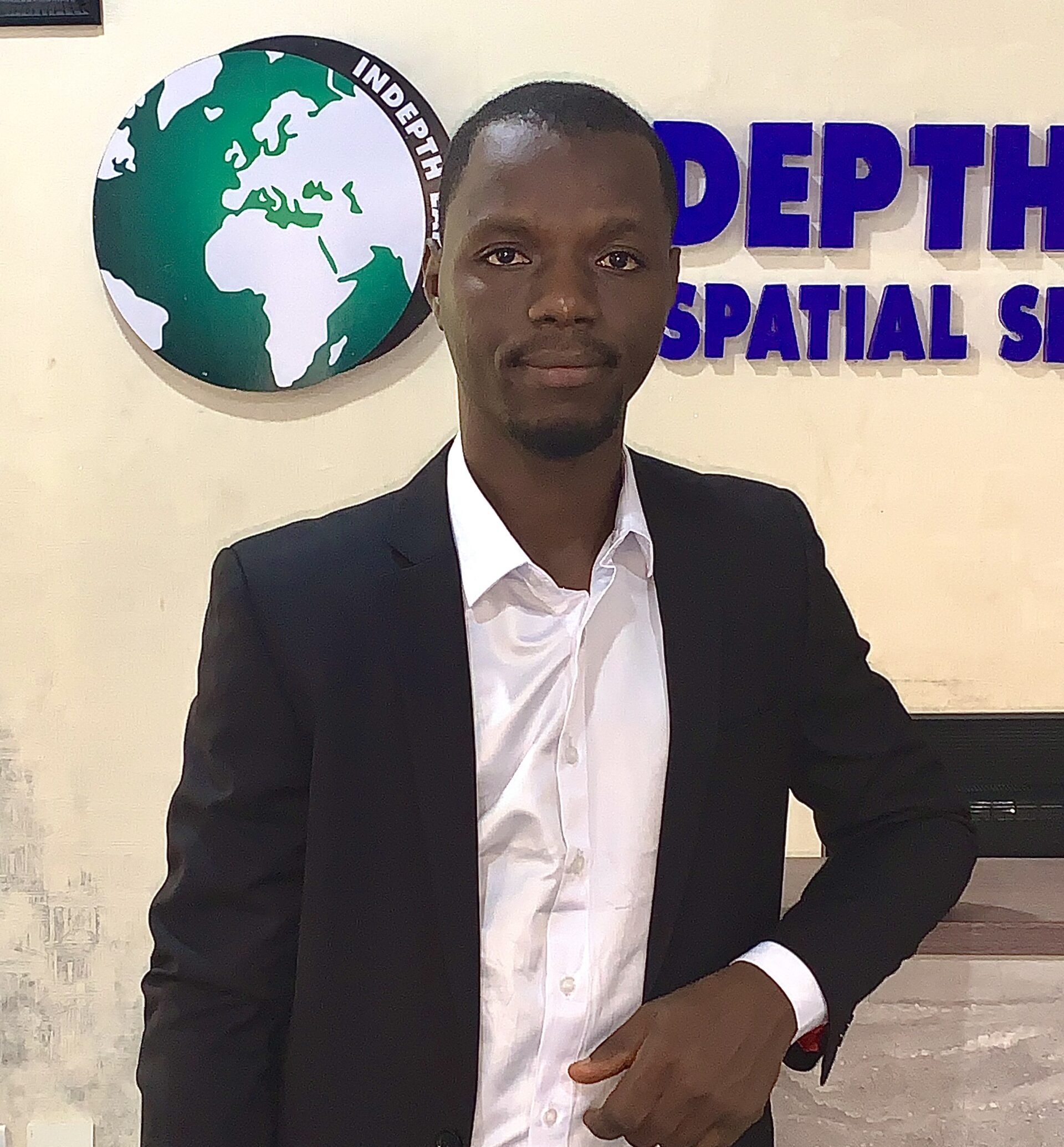
Mr. Musa Jamilu
Team Lead - UAS Research & Development

Mr. Onyedikachi Joshua
Conseiller En Formation
Work Philosophy
Our expert team is the best to handle your needs across all the service offerings we have listed that you might have gone through.
Commitment to Excellence
Our expert team delivers world-class geospatial intelligence by combining advanced UAV technology, multi-sensor capabilities, and precise data interpretation. Every project is executed with integrity, attention to detail, and adherence to international quality standards.
Innovation at the Core
We embrace continuous innovation—designing drones in-house, advancing R&D initiatives, and applying AI-driven analytics to geospatial services. Our pursuit of technological advancement ensures that we remain at the forefront of our industry, delivering modern solutions to complex challenges.
Client-Centric Approach
We take time to understand each client’s vision, challenges, and operational realities. By working closely with stakeholders, our expert team delivers solutions that are technically sound, strategically aligned, and impactful.
Integrated, Multidisciplinary Solutions
We believe in the power of combining aerial mapping, LiDAR scanning, GIS processing, and drone technology to provide end-to-end solutions. This multidisciplinary integration transforms complex spatial data into clear, strategic advantages for our clients.
Purpose-Driven Impact
Every project is an opportunity to create lasting value—enhancing infrastructure resilience, advancing sustainable development, and enabling smarter resource management. Our expert team is committed to making a meaningful difference.
Efficiency Without Compromise
We optimize workflows and anticipate challenges to ensure projects are delivered on time, within budget, and to the highest standards—without sacrificing detail or quality.
Uncompromising Safety Standards
We operate with the highest safety protocols, ensuring our drone operations, field surveys, and data collection meet strict regulatory requirements and protect both people and the environment.
Data Integrity and Accuracy
We treat accuracy as non-negotiable. Every dataset we produce undergoes rigorous validation, giving our clients confidence that the information they rely on is precise, reliable, and ready for critical decision-making.
Collaboration and Knowledge Sharing
We believe great results come from collaboration—both within our team and with our clients. By sharing expertise and fostering open communication, we ensure every stakeholder is informed, engaged, and aligned.
Shaping the Future of Geospatial Solutions
We are committed to redefining geospatial and drone innovation in Nigeria and beyond—pioneering richer insights, safer operations, and smarter, more connected futures for industries worldwide.
Regulated and Certified Operations
We are a fully regulated and certified service provider, meeting all national and international compliance standards for UAV operations and geospatial services. This guarantees that our work is lawful, transparent, and aligned with industry best practices.
Licensed by the NCAA
Our drone operations are licensed by the NCAA and we are propely regulated and all our operations certified.
Contactez-Nous
We are just one click away to engage you on any of our service offerings today.

