HYPREP
- Environment
- Oil and Gas
Description.
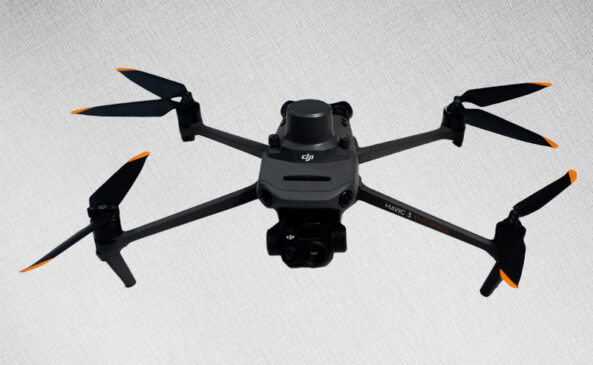
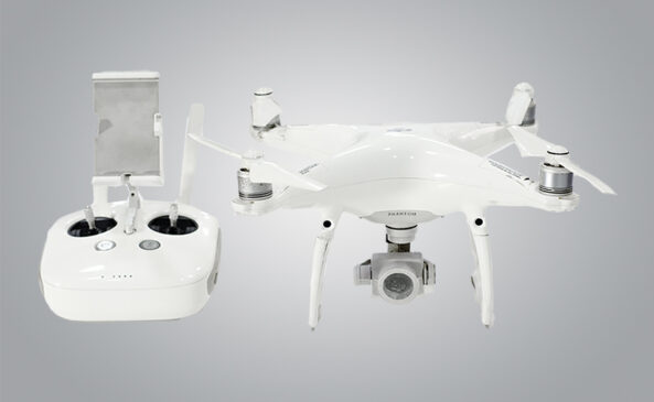
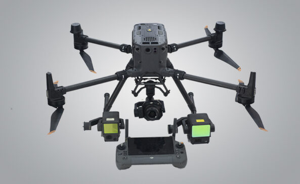
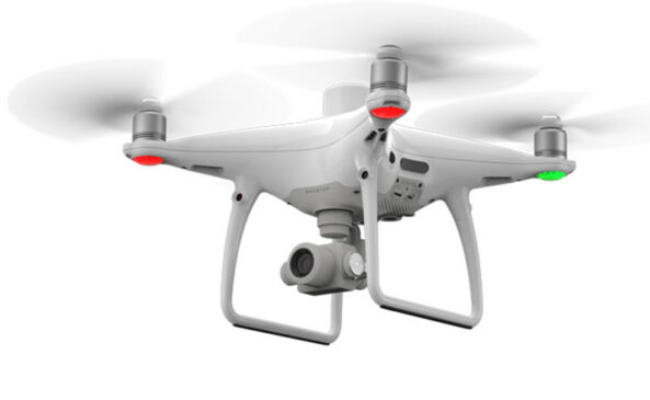
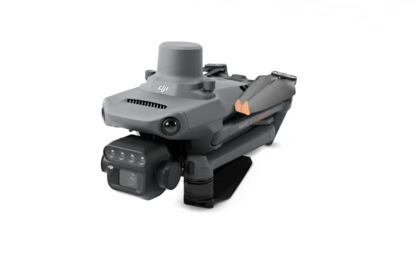
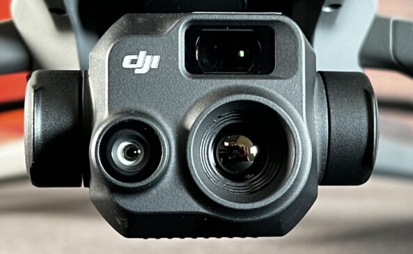
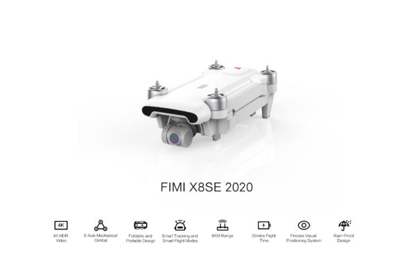
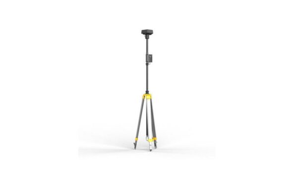
Pipeline Surveillance Using Sophisticated Drones
As part of ongoing environmental restoration efforts, our team conducted advanced drone mapping and inspection for various remediation and monitoring sites across Ogoni. These operations aimed to provide high-resolution geospatial data to support decision-making in environmental cleanup, shoreline restoration, and oil spill impact assessments.
Scope of Work:
Drone Mapping & Inspection of Remediation Sites – Collaborated with the UNEP/HYPREP team to capture aerial data for evaluating the progress of cleanup efforts in Ogoni, Rivers State.
Shoreline Restoration Monitoring – Conducted periodic drone surveys to assess shoreline rehabilitation in Ogoni, tracking changes and identifying areas needing intervention.
PREVIOUS PROJECT

