
At Indepth, we provide an array of expert geospatial services and other offerings that match international standards.
Whether it’s expert geospatial services, GIS solutions, infrastructure inspection, smart city development and any other of your needs, we have the right service offering for you.
Process.
We follow a structured methodology that ensures clarity, precision, and client satisfaction at every stage. Our process is designed to deliver accurate geospatial insights and reliable drone data that drive smarter decisions.
STEP 1
Strategic Definition
Strategic Definition
STEP 2
Preparation and Briefing
Preparation and Briefing
STEP 3
Concept Design
Concept Design
Service Offerings.
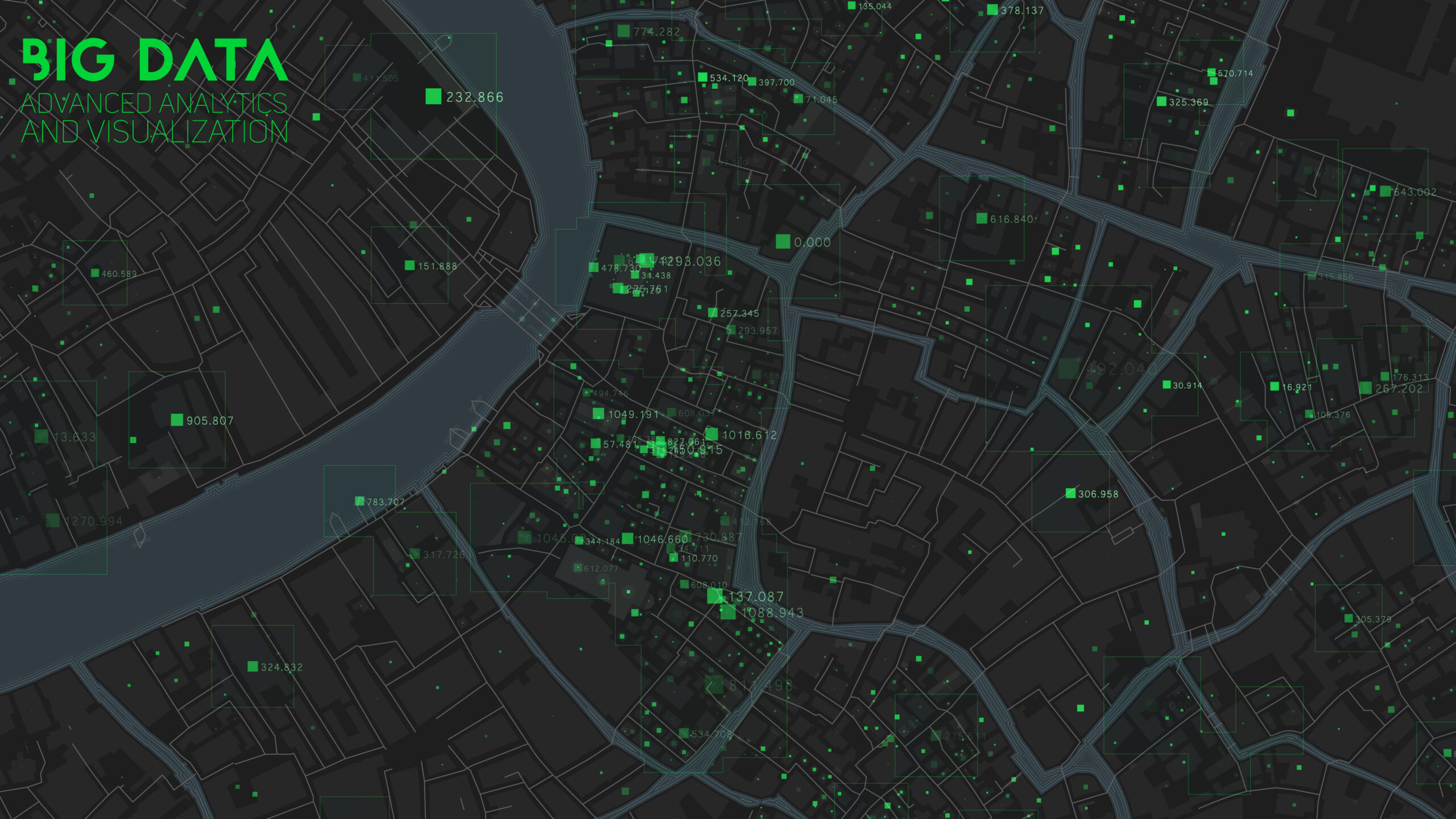
GIS Solutions: Unlocking the Power of Location-Based Data
Offering Geospatial Solutions is at the heart of what we do. We understand that the world is a complex, interconnected web of data, and that location is a fundamental piece of this puzzle. Our Geospatial Data Analytics services are designed to harness the power of location-based data, transforming it into actionable insights for
your organization. With key features such as Data Integration,
Data Visualization, Spatial Analysis, Predictive Modeling,
Environmental Impact Assessment, Resource Allocation,
Risk Mitigation, and Custom Solutions.

Robotics/Autonomous Vehicle Services: Revolutionizing Data Collection and Surveying
We understand that the future of data collection, surveying, and inspection lies in robotics and autonomous vehicles. Our Robotics/Autonomous
Vehicles services are at the forefront of this technological revolution, offering a range of innovative solutions that cater to various industries and applications. With key features such as; UAV Mapping Services, LiDAR drone surveys, Infrastructure Inspection Drones.
Integrated Infrastructure Management: Maximizing Efficiency, Sustainability, and Value
At Indepth Earth Geospatial Services LTD, we recognize the
intricate relationship between infrastructure, energy, and
assets in today’s dynamic world. Our Integrated Infrastructure
Management service is designed to seamlessly merge these
critical components, providing you with a holistic approach to
enhance efficiency, sustainability, and the overall value of your
operations.
Key Components of Our Integrated Infrastructure Management include:
• Infrastructure Inspection
• Energy Management
• Asset Management


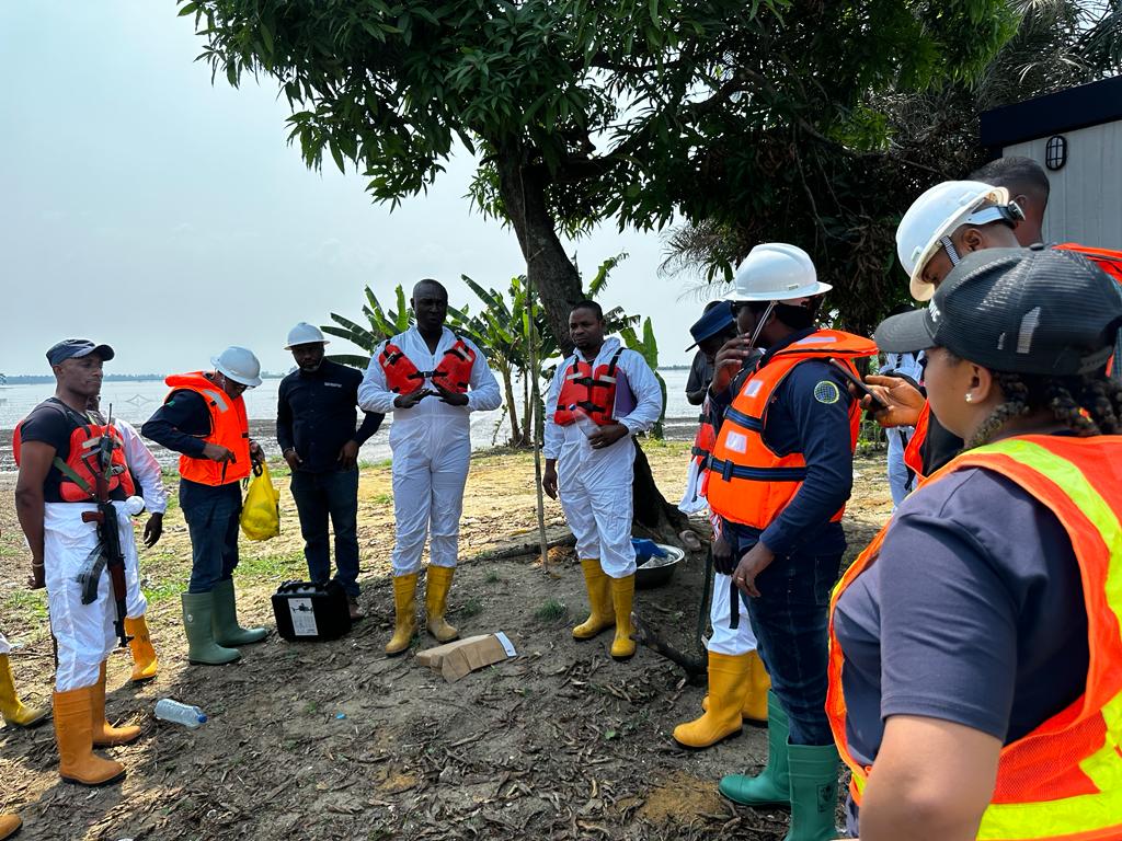
Disaster Response Services: Navigating Crisis with Precision and Efficiency
Disasters can strike at any moment, causing widespread devastation and disruption. At Indepth Earth Geospatial Services
LTD, our Disaster Response Services are a beacon of hope in
times of crisis, dedicated to helping communities, organizations, and helping governments respond effectively to emergencies, minimizing the impact and aiding in recovery. We understand the urgency of disaster response and the critical role geospatial technology plays in managing these crises.
With key features such as; Rapid Data Collection, Real-Time Monitoring, Risk Assessment, Resource Allocation, Environmental Impact Assessment, Infrastructure Inspection, and Custom Solutions.
Environmental Monitoring and Management Services: Protecting Our Planet, One Data Point at a Time
We are dedicated to safeguarding the environment through our Environmental Monitoring and Management Services powered by professional drone surveying services. Our comprehensive approach combines aerial data collection with advanced geospatial analysis, founded on the belief that precise data, informed decision-making, and sustainable practices are essential to mitigate environmental impact and preserve our planet for future generations.

Digital and Advanced Mapping Services: Navigating the World with Precision
Indepth Earth Geospatial Services LTD is a trailblazer in Digital and Advanced Mapping Services. Our commitment to precision, accuracy, and innovation in cartography and mapping technologies ensures that you have access to the most up-to-date and detailed geographical information. Whether you’re in need of urban planning, natural resource management, or location-based insights, our mapping services are designed to provide a clear and comprehensive picture of your world. With key features such as; High-Resolution Imaging, Geospatial Data Integration, Customized Maps, Interactive Mapping, 3D Mapping, and Map Updates.
Precision Agriculture Services: Cultivating Innovation for a Sustainable Future.
We are at the forefront of the agricultural revolution, leveraging cutting-edge geospatial technology, data analytics, and AI to empower farmers, agribusinesses, and agricultural communities to optimize their operations. Our Precision Agriculture Services enable you to make data-driven decisions that enhance productivity, reduce resource waste, and contribute to a more sustainable and protable agricultural landscape. With key features such as; Data Collection, Data Analysis, Variable Rate Application (VRA, GIS-Based Farm Management, Real-Time Monitoring, Yield Mapping, and Sustainability Practices. Our Precision Agriculture Services are your partner in achieving a more efficient, sustainable, and profitable agricultural operation.

Project Management Services: Delivering Success through Expert Planning and Execution.
Indepth Earth Geospatial Services LTD offers comprehensive
Project Management Services to help organizations achieve
their goals efficiently and effectively. With a focus on geospatial and technology-driven projects, our seasoned project managers provide the leadership and oversight necessary to navigate complex projects, ensuring they are delivered on time, within budget, and with the quality expected. Whether
your project is related to infrastructure, environmental management, or geospatial technology implementation, our Project Management Services ensure that every detail is attended to, and every milestone is met. With key features such as; Strategic Planning, Scope Destinition, Resource Allocation, Risk Assessment and Mitigation, Stakeholder Communication,
Quality Assurance, Monitoring and Reporting, and Adaptability.
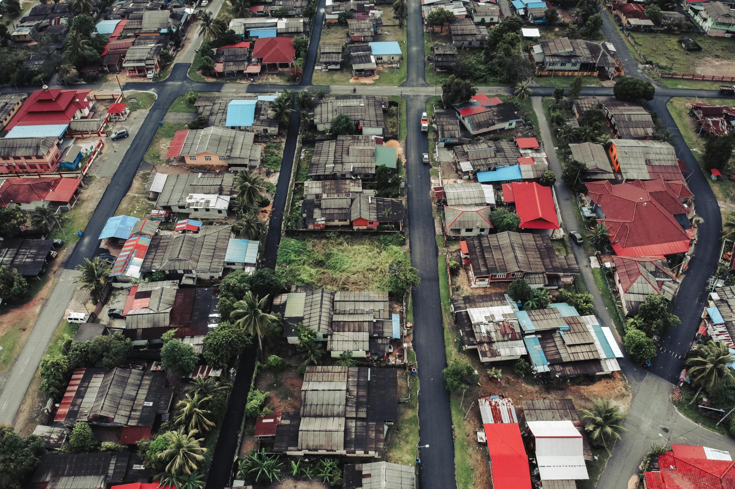
Smart City and Real Estate Solutions: Transforming Urban Living and Investment.
We offer an innovative fusion of Smart City and Real Estate Solutions that revolutionizes urban development through advanced drone surveying services and geospatial technology. Our integrated approach enhances urban living quality while delivering unparalleled insights for real estate investors, developers, and property management companies.
By combining drone surveying services with data-driven analysis, we create sustainable, efficient urban environments and provide key capabilities including Urban Planning and Development, Real Estate Market Analysis, Smart Infrastructure Integration, Property Valuation, and Market Forecasting.

Land Information Management/Administration Systems Services
Indepth Earth Geospatial Services LTD owners Land Information
Management and Administration Systems Services that are
the cornerstone of efficient land management, ownership,
and responsible land use. Our comprehensive services are
designed to provide governments, organizations, and individuals with the tools and data necessary to streamline land administration, ensure property rights, and promote sustainable land practices. Whether it’s land registry, land-use planning, or land valuation, our services empower you with accurate, accessible, and transparent land information systems. With key features such as; Land Registry and Title Management, Geospatial Data Integration, Parcel Mapping, Land Valuation and Assessment, Land-Use Planning, Digital
Land Records, and Property Tax Management.
Pipeline Surveillance: Pipeline Drone Surveying Services
We specialize in comprehensive pipeline surveillance using state-of-the-art drone technology. Our services provide unparalleled efficiency and accuracy in monitoring, inspecting, and securing pipeline infrastructures across various terrains and environments.
Our Approach:
Advanced Drone Solutions: We employ advanced drones
equipped with high-resolution cameras, thermal imaging, and
specialized sensors to conduct detailed pipeline inspections.
Comprehensive Monitoring: Our drones cover extensive areas
swiftly, capturing detailed visuals and data, allowing for
in-depth analysis of pipeline conditions.
Early Detection of Anomalies: With our drone surveillance, we
can identify potential issues such as leaks, corrosion, encroachments, or structural weaknesses before they escalate.


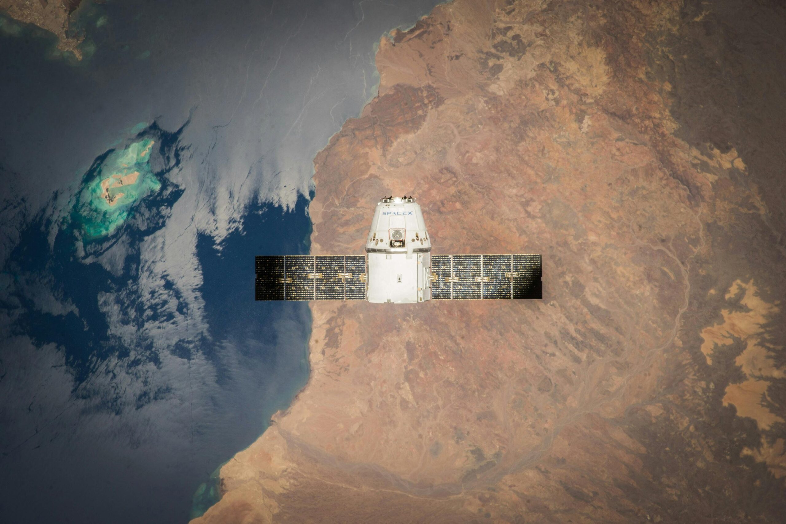
Underwater (Bathymetry) Mapping.
At Indepth Earth Geospatial Services Limited, we leverage
cutting-edge technology to deliver precise and comprehensive
bathymetric mapping solutions using Unmanned Surface Vehicles (USV) Our State-of-the-Art Unmanned Surface Vehicles: Our USVs are equipped with advanced sensors and imaging technology, enabling effcient and accurate data collection in various water bodies.
Precision and Accuracy: With high-resolution sonar systems
and top-notch data processing techniques, we ensure precise
mapping and analysis of underwater landscapes.
Cost-effective and Efficient Solutions: Our unmanned surface
vehicles offer a cost-effective alternative to traditional survey
methods, minimizing operational costs and reducing project timelines.
IT & Infrastructure Development Services.
We stand as the unparalleled leader in IT & Infrastructure Development, offering cutting-edge solutions that redefine the industry. Our cloud computing expertise, coupled with a mastery of DevOps, and microservices architecture, ensures seamless, scalable, and secure operations. Driving advancements in AI, ML, and blockchain, we deliver innovative infrastructure for the future.
Indepth Earth leads in edge computing, and cybersecurity,
fortifying organizations against emerging threats. With a commitment to excellence, we empower clients with robust digital transformations, utilizing advanced geospatial analytics.