


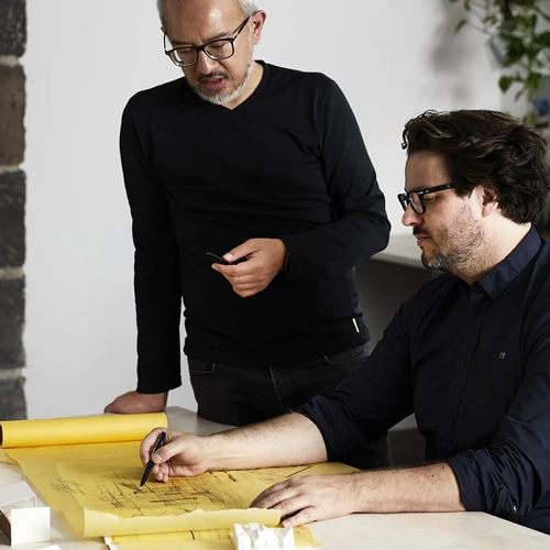
Explore Outstanding Projects at the Indepth Earth Global.
Inasmuch as we have an array of service offerings that may interest you, we also have proof to back that up. Explore a collection of our previously completed jobs.
Ibom Solutions Hub Project
A comprehensive mapping and monitoring/assessment exercise conducted in Akwa Ibom state.
Oil & Gas Industralization Project
Drone Lidar Topographical Survey of an Oil and Gas Inductrial Zone in Warri South-West.
Hydrocarbon Emission Restoration Project
Drone Mapping/Monitoring of Mangrove Remediation and Restoration Project for HYPREP.
LiDAR Mapping for Airport Construction
We conducted high-precision LiDAR mapping for the site of a newly planned airport. This project was carried out using advanced LiDAR payload technology.
Pipeline Surveillance
We are part of an ongoing aerial surveillance service for an oil company in Bayelsa State, utilizing advanced drones to monitor critical pipeline infrastructure.
Hydrocarbon Remediation Project
Drone Mapping of Hydrocarbon Impacted Sites for UNEP in Ogoni Land.
Oil & Gas Facility Inspection
Regular inspections of offshore and onshore oil rigs using drones equipped with high-resolution cameras and sensors.
Drone LiDAR Survey
Drone LiDAR Topographical and Boundary Survey at Katampe in Abuja for Victoria Gardens
New Port City
We carried out a high-quality aerial mapping and generated a detailed 3D models, Digital elevation models, Orthophoto and contour for site planning and design reviews.
Land Prospecting for a Real Estate Project
Drone LiDAR Topographical and Boundary Survey at Katampe in Abuja for Victoria Gardens.